{ "right": 0, "y": 0 }
{ "right": "-16px", "top": "0" }

Mike Hall

All
Architecture
Black & White
Graphic
Line
Maps
Vector
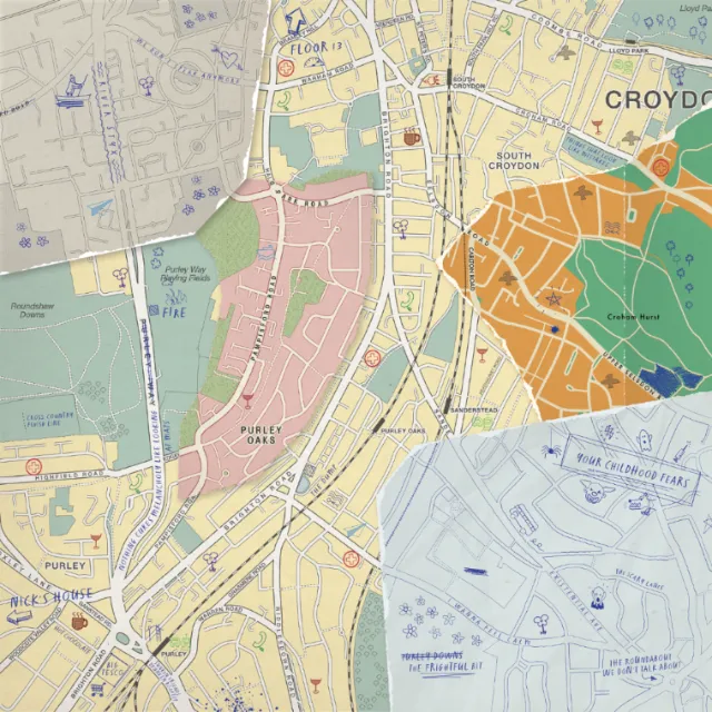
Detailed Croydon map showing location in South London
Zoom
Find similar
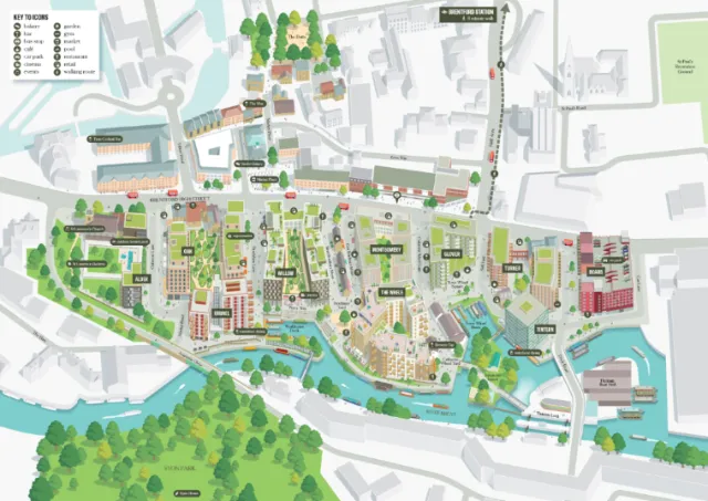
Urban design map showing community planning and green areas
Zoom
Find similar
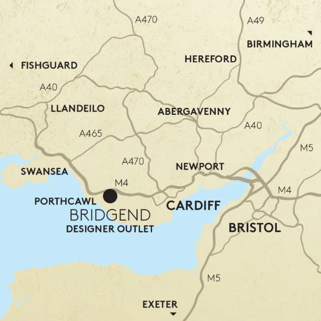
UK regional map highlighting Bridgend Designer Outlet
Zoom
Find similar
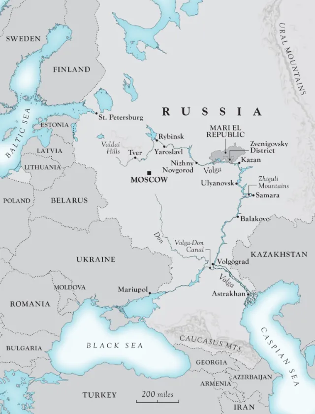
Map of western Russia and neighboring countries by Mike Hall
Zoom
Find similar
Map of Santiago de Compostela, Spain
Zoom
Find similar
Mike Hall
City, country, river ...
Mike Hall is the expert when it comes to conveying important geographic information with perfectly designed maps.
If you’re working on a project involving illustrated maps, then Valencia-based artist Mike Hall needs to go at the top of your list of artists to consider. From vintage to modern styles, he’s an expert not only at conveying vital geographical information but also at perfectly crafting each map for his client and their audience. These same skills are reflected in his intricately detailed architectural drawings and cityscapes. Growing up in the ‘new town’ of Harlow in Essex, Mike was surrounded by modern architecture, which caught his imagination. He’d map out entire cities of his own creation, and to realise this passion as a career he studied graphic design at the University of Westminster, later switching to Illustration for his degree. His influences include William Hogarth, Gustave Doré, Wenceslaus Hollar and the map illustrator MacDonald Gill.

Approach

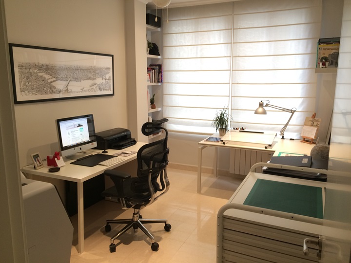
Usually, Mike draws his maps and architectural illustrations by hand, before scanning them in and adding colours digitally. Some of his maps are entirely digital, using vector graphics.

Style

Architecture, topography and geography are the key subjects in Mike’s illustrations, and his style is driven by strong line work. He loves drawing busy scenes, with plenty of activity and colour, but always hones the style used for any commission to the requirements of his brief.

Awards

2005 – Cartoons Trust Young Cartoonist of the Year
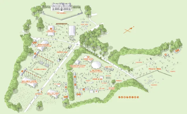
Chessington World of Adventures resort guide map
Zoom
Find similar
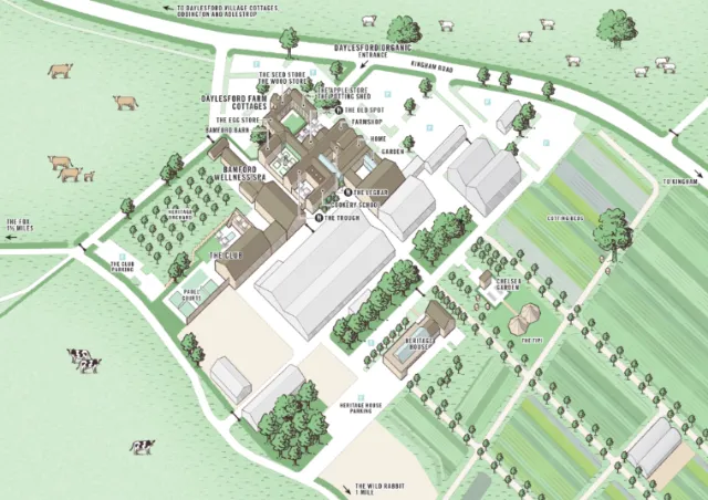
Daylesford Organic aerial view
Zoom
Find similar
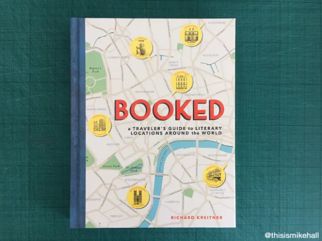
Book cover artwork for Richard Kreitner’s Booked
Zoom
Find similar
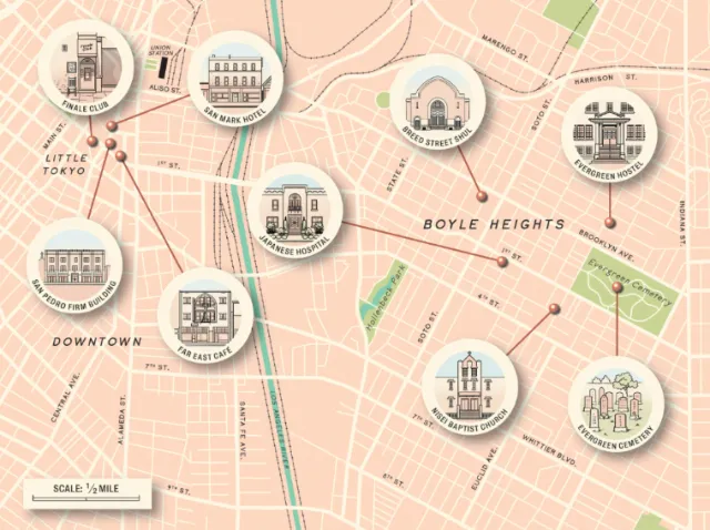
Places & Location of California Downtown
Zoom
Find similar
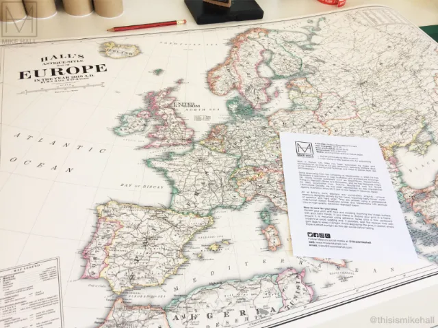
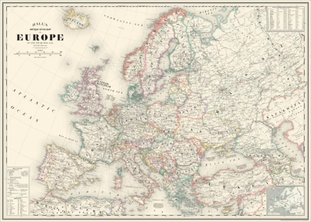
Hall's Antique-Style map of Europe in the year 2019 A.D
Zoom
Find similar
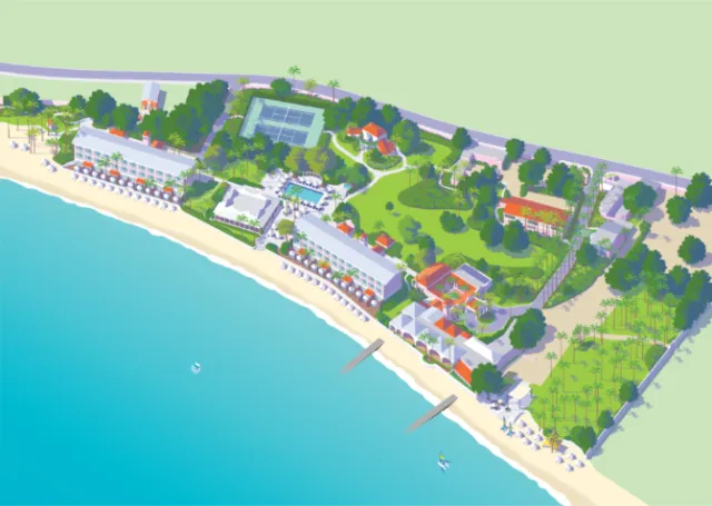
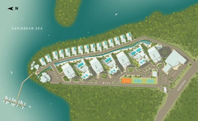
Barbados's Fairmont Royal Pavilion resort location map
Zoom
Find similar
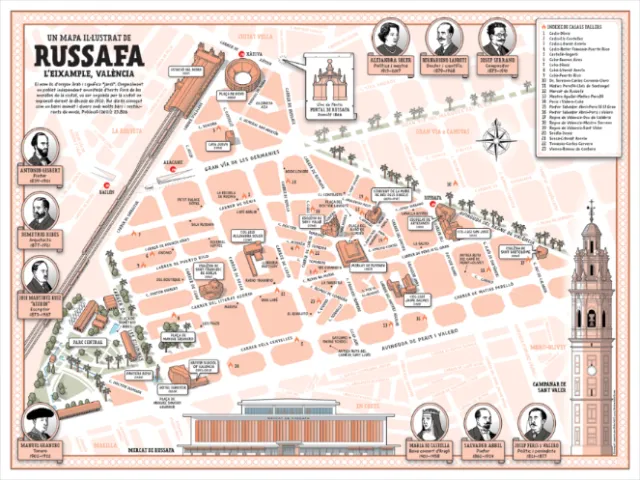
Places & Locations of Un Mapa Il-Lustra De Russafa
Zoom
Find similar
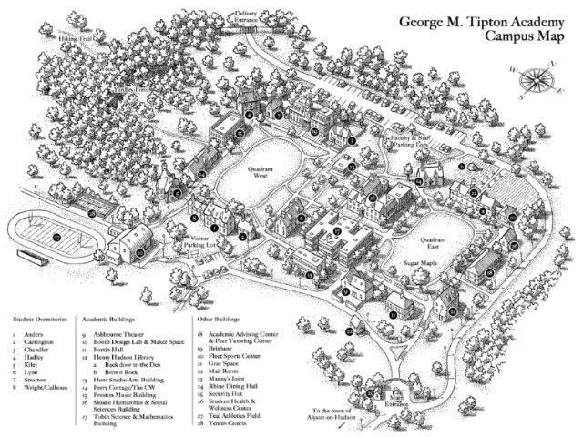
Campus map of George M. Tipton Academy in black and white
Zoom
Find similar
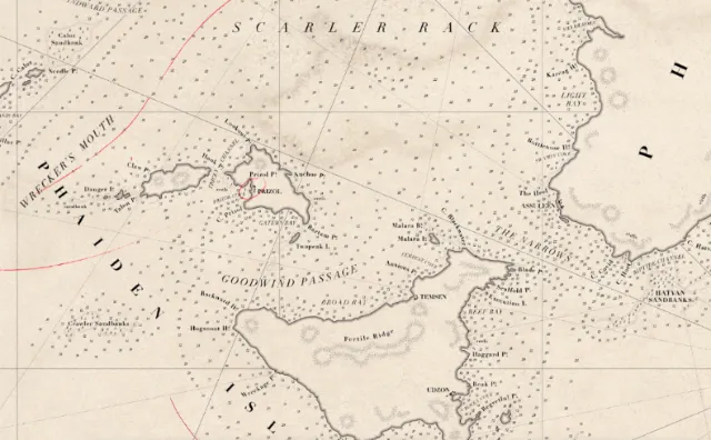
Detailed vintage nautical map of the French coast by Mike Hall
Zoom
Find similar
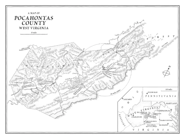
A map illustration of Pocahontas County, West Virginia
Zoom
Find similar
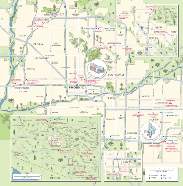
Map showing the location of the Phoenix Children's Hospital
Zoom
Find similar
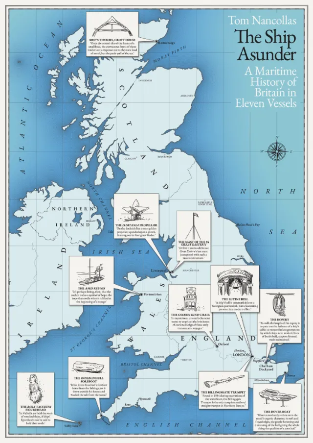
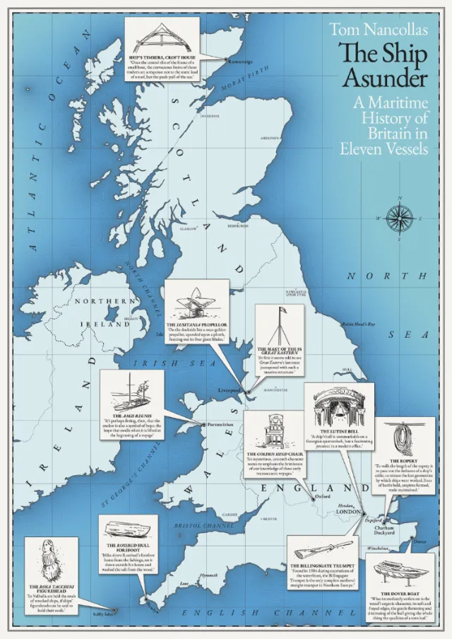
Cover design of "The Ship Asunder" book by Tom Nancollas
Zoom
Find similar
Drawing of a global map for HarperCollins
Zoom
Find similar
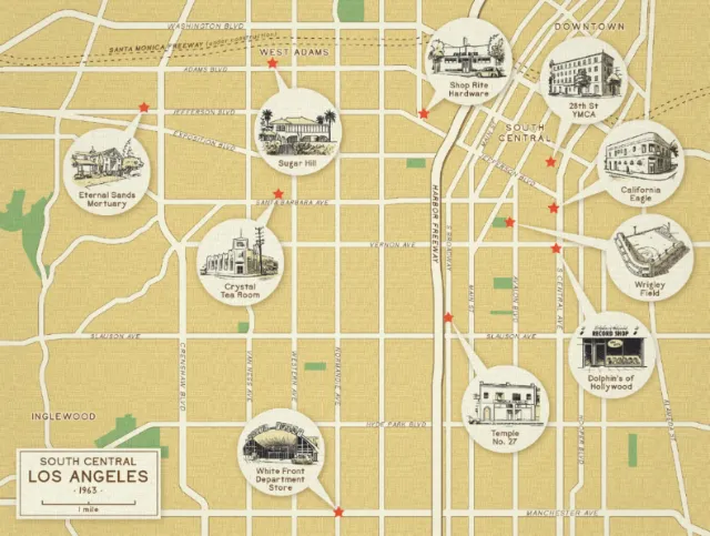
Map design of South Central Los Angeles in 1963
Zoom
Find similar
Map illustration showing the Buddhist Traveller
Zoom
Find similar
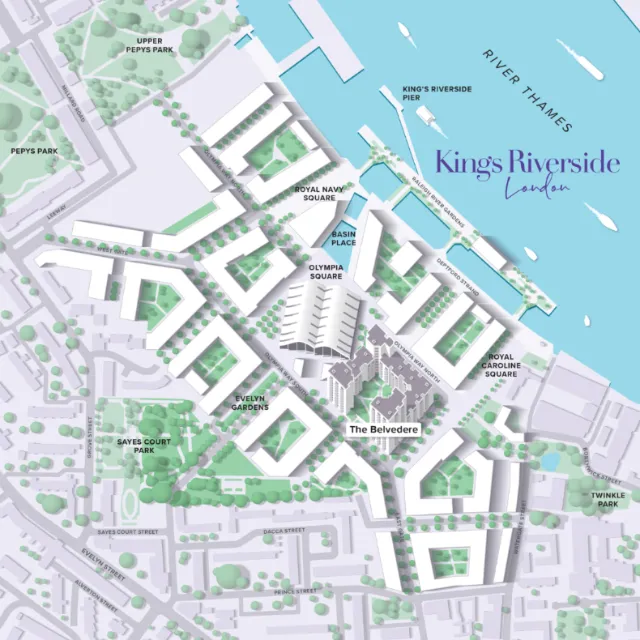
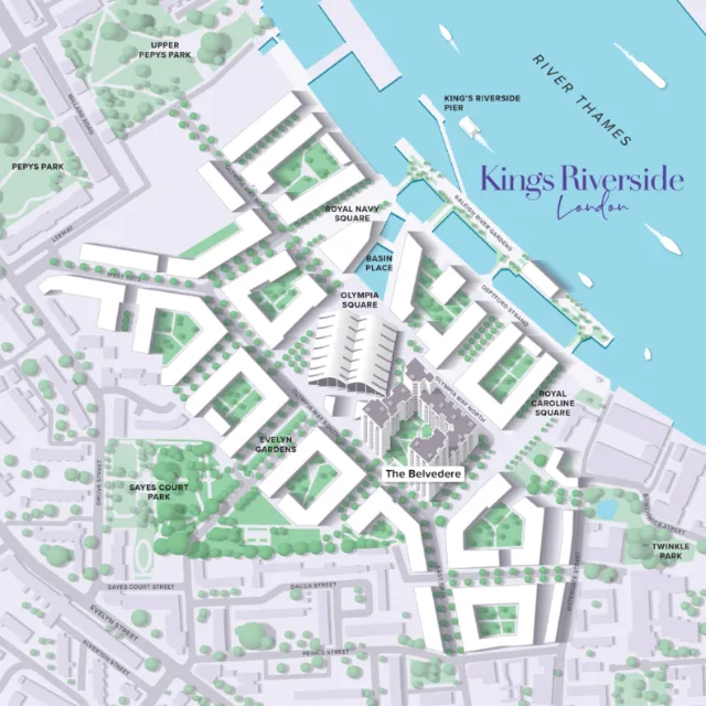
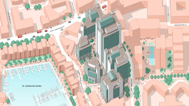
Technical map design of Kings Riverside, London
Zoom
Find similar
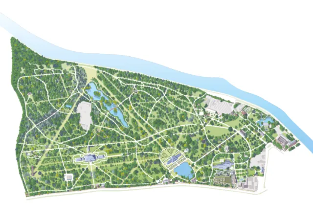
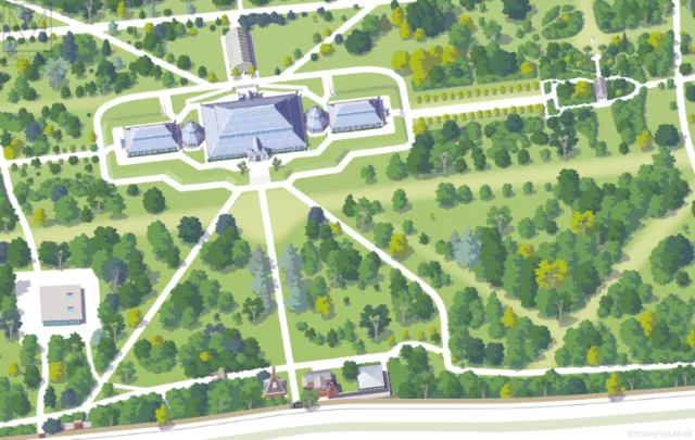
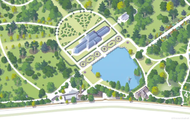
Kew Gardens visitor map illustration
Zoom
Find similar
Detailed map of San Francisco, California
Zoom
Find similar
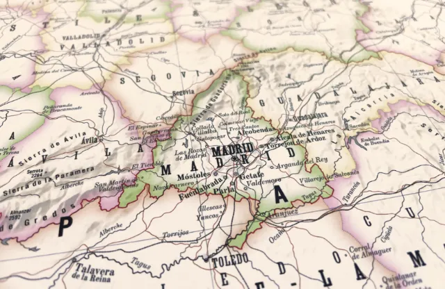
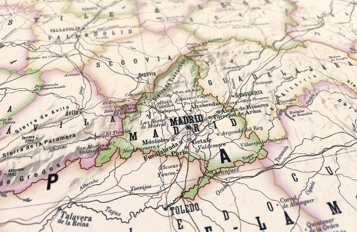
Geographical information for Madrid, Spain
Zoom
Find similar
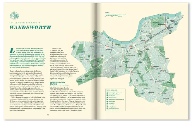
Open book showing vintage map and text about Wandsworth area
Zoom
Find similar
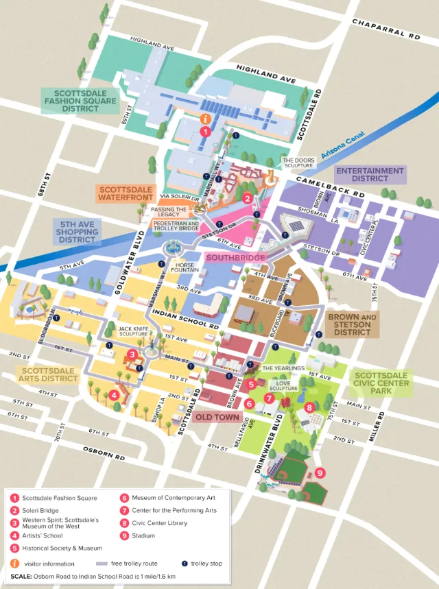
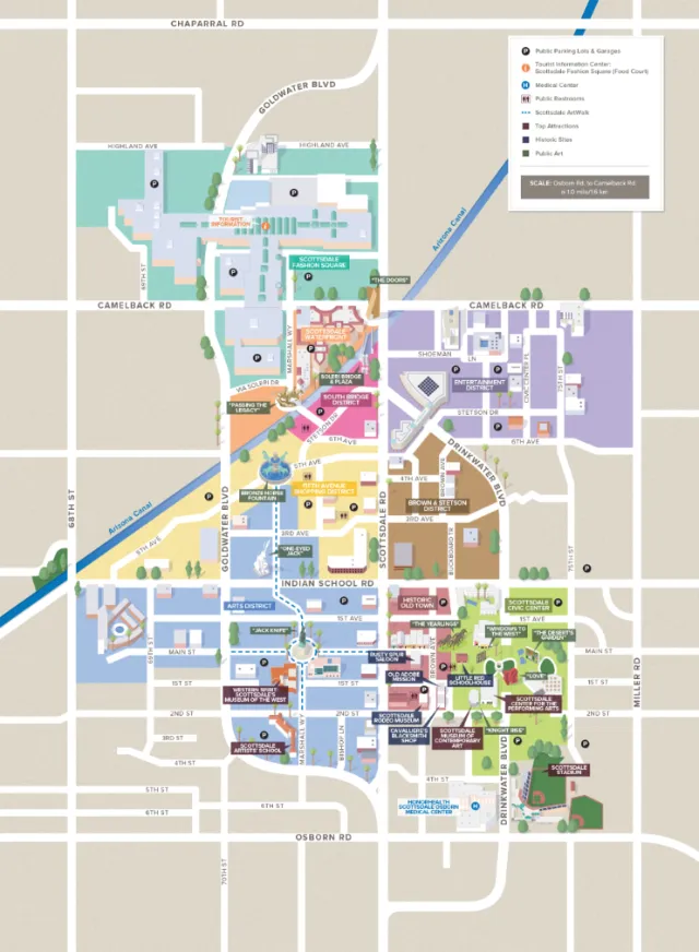
Scottsdale, AZ Downtown map illustration
Zoom
Find similar
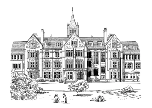
Black and white drawing of St. Margarets School
Zoom
Find similar
Detailed map of london locations
Zoom
Find similar
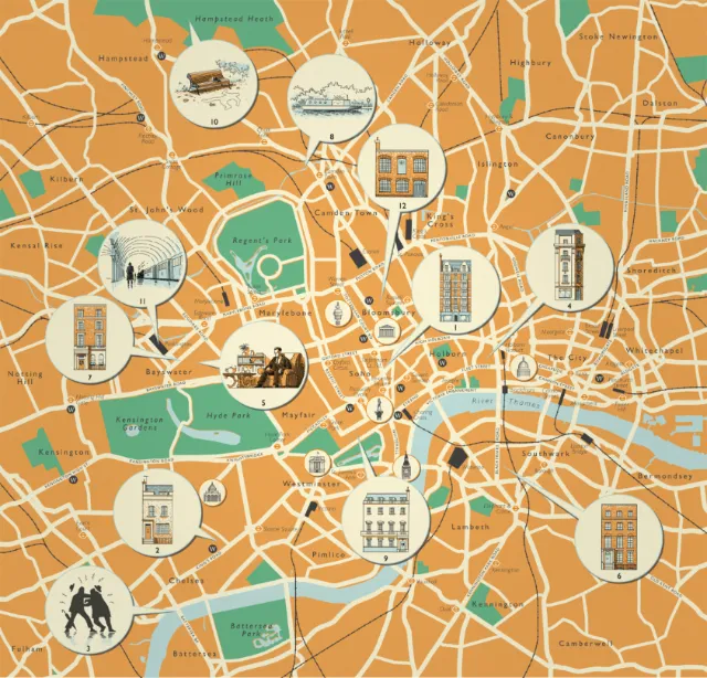
Famous places in London map design by Mike Hall
Zoom
Find similar
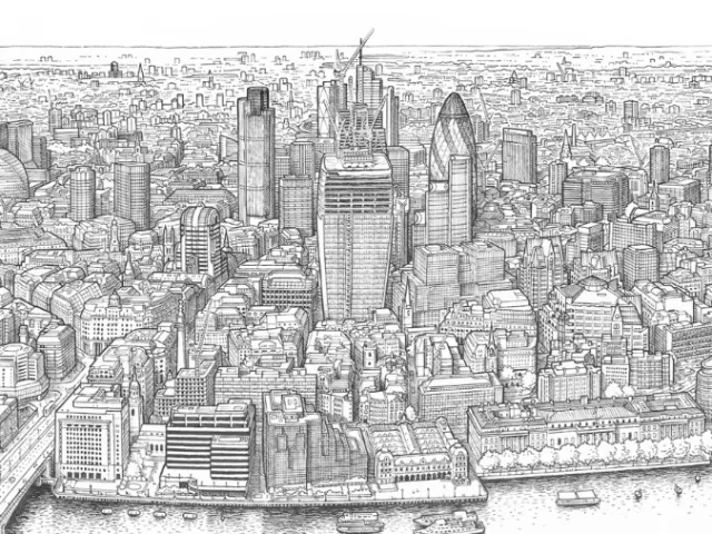
Illustrated map of Panorama of London
Zoom
Find similar
Mike Hall
Selected illustrations
Vector style map of E Osborn Rd, Arizona, USA
Zoom
Find similar
Practice map illustration showing political boundaries
Zoom
Find similar
Pennsylvania township map showing local layout and boundaries
Zoom
Find similar
Aerial view of Kew Gardens pavilion and pathways by Mike Hall
Zoom
Find similar
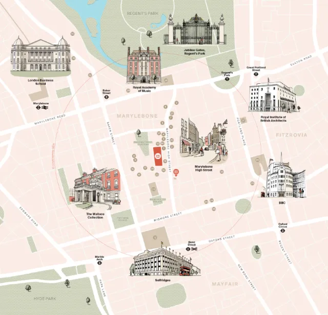
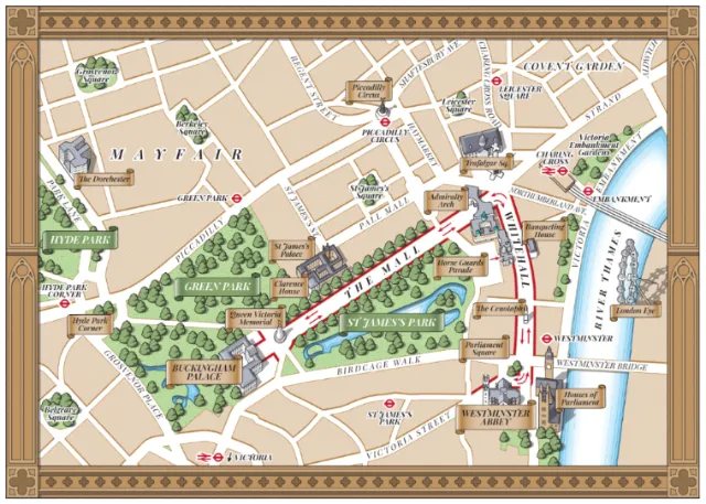
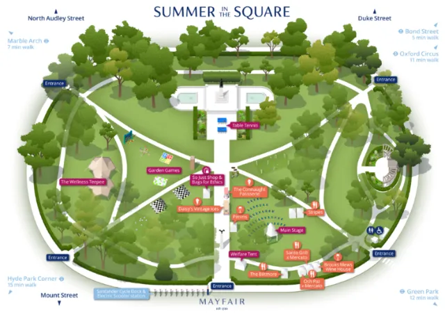
Street maps of Mayfair by Mike Hall
Zoom
Find similar
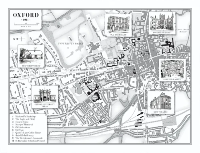
Black and white map of Oxford 1911.
Zoom
Find similar
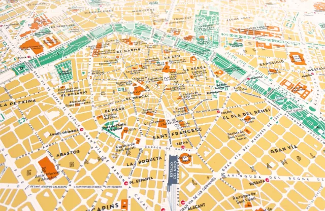
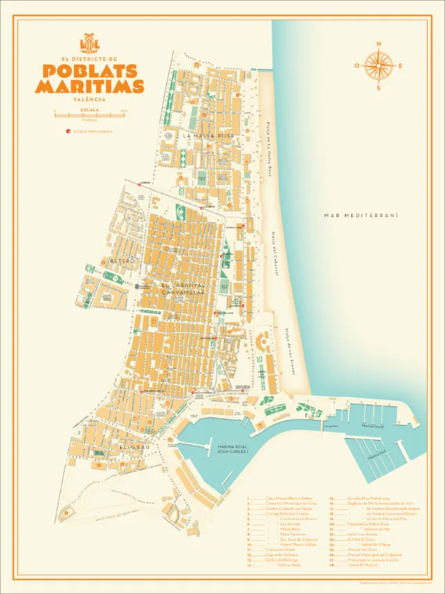
Valencia's Poblats Maritims Map design
Zoom
Find similar
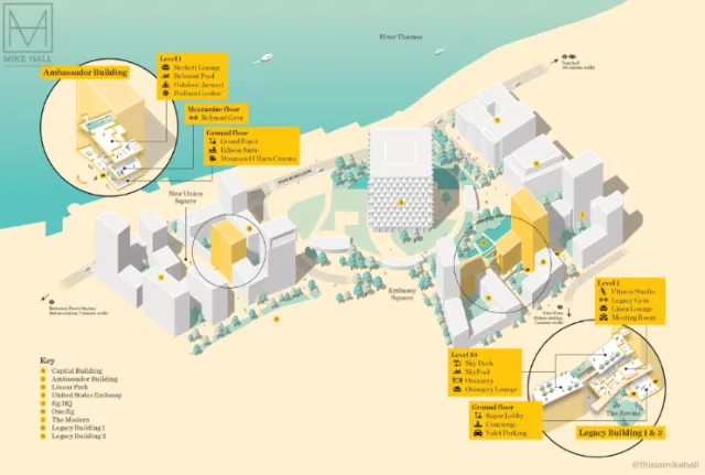
Map illustration of Embassy Gardens, London
Zoom
Find similar
Educational map of King Riverside
Zoom
Find similar
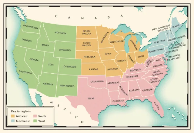
United States of America region map design
Zoom
Find similar
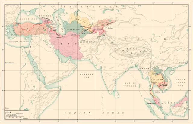
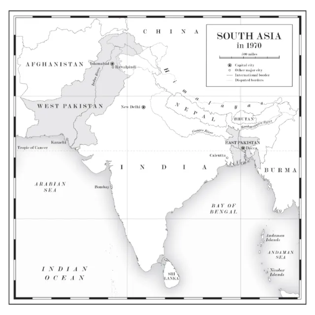
1970 South Asia map drawn by Mike Hall
Zoom
Find similar
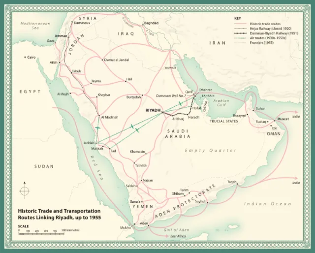
Transportation routes map linking Riyadh in 1995
Zoom
Find similar
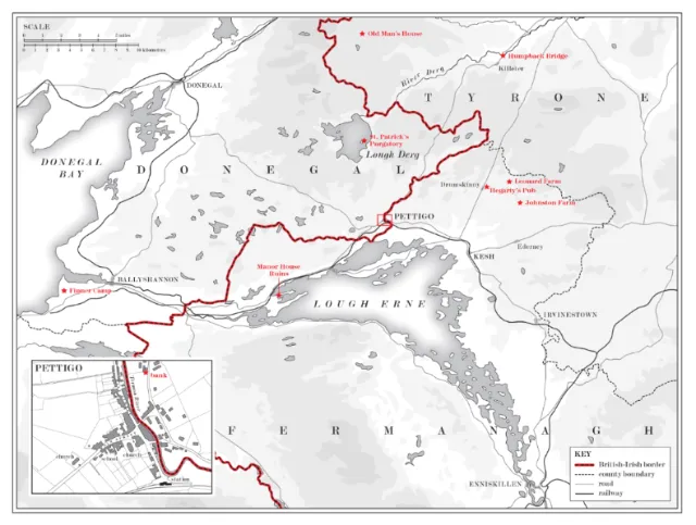
Map illustration about British-Irish borders
Zoom
Find similar
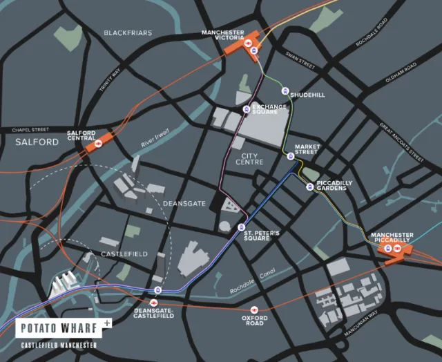
Illustration of a map showing Potato Wharf, Castlefield Manchester
Zoom
Find similar
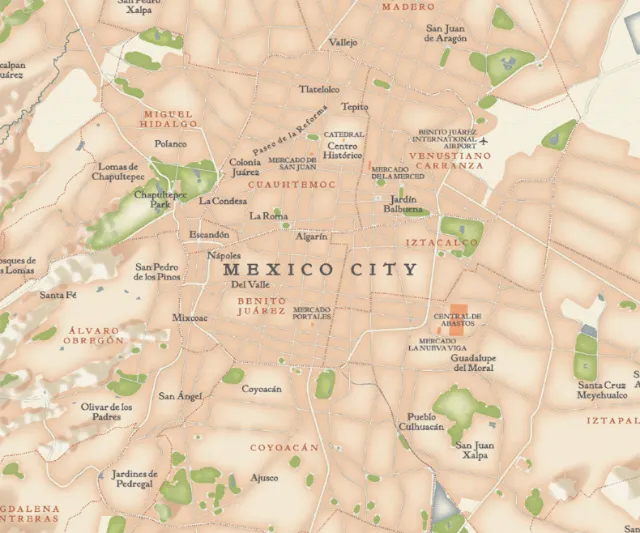
Illustration of a city map of Mexico by Mike Hall
Zoom
Find similar
Uni-ball pin fine-tip pen sets with detailed building illustration
Zoom
Find similar
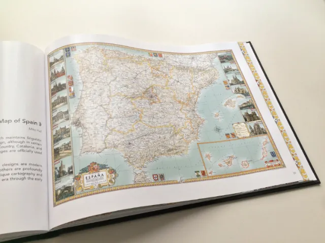
Vivid Detail Map of España
Zoom
Find similar
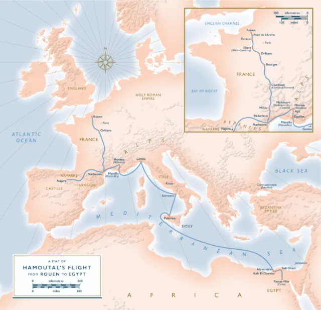
The Convert' mediaeval Europe map illustration
Zoom
Find similar
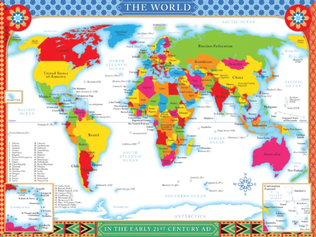
Early 21st-century world map design
Zoom
Find similar
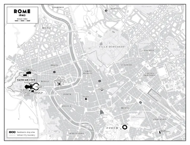
Vintage's map of Rome in 1943
Zoom
Find similar
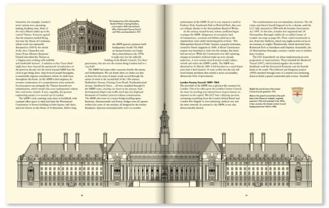
Architectural blueprint and historical details of a large institutional building.
Zoom
Find similar
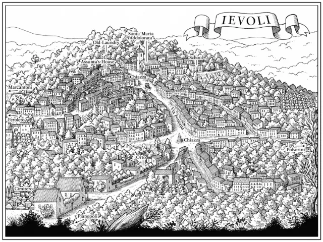
Black and white drawing of Ievoli by Mike Hall
Zoom
Find similar
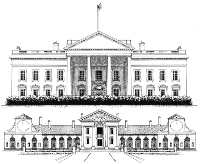
Architectural illustration of White House & Villa Barbaro
Zoom
Find similar
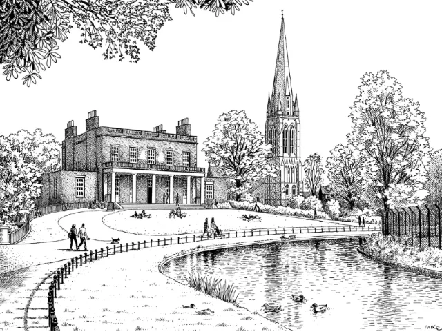
Clissold Park, London illustrated map
Zoom
Find similar
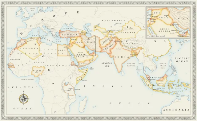
Map of Islamic countries for a recipe book
Zoom
Find similar
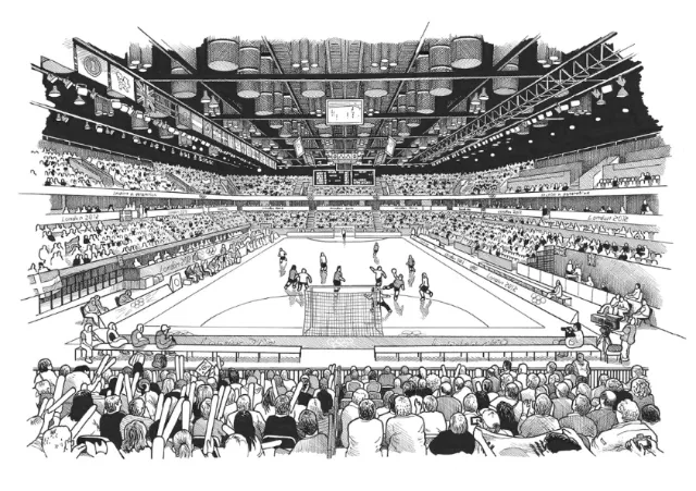
Illustration of The Copper Box With Crowded
Zoom
Find similar
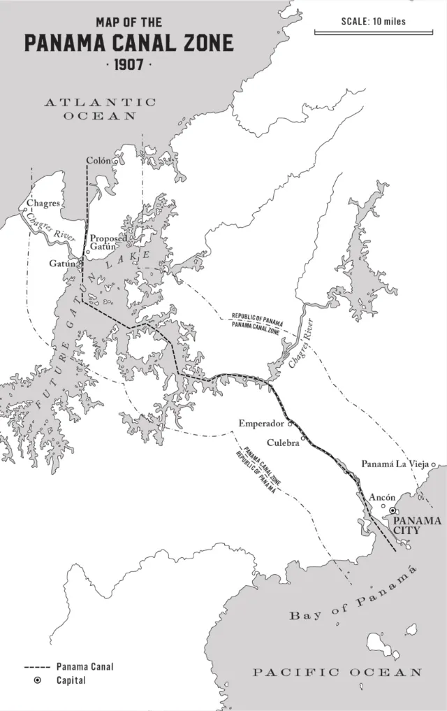
Geographic map of the Panama Canal region
Zoom
Find similar
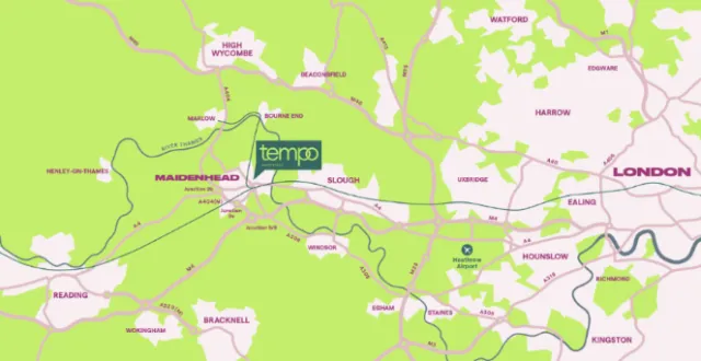
Illustration of places and locations in Tempo Maidenhead
Zoom
Find similar
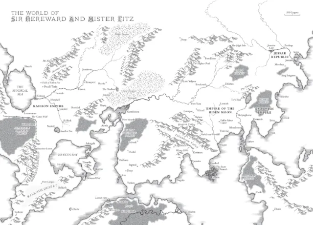
Map design of The World of Sir Hereward and Mister Fitz
Zoom
Find similar
Singapore Rochor Canal Riverfront city view
Zoom
Find similar
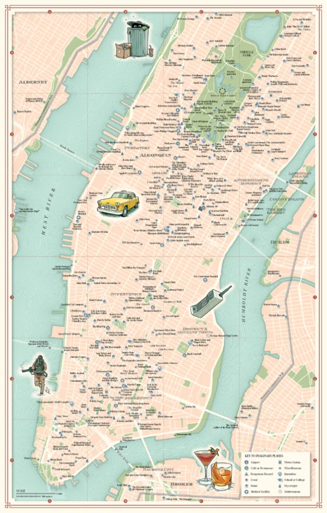
Key imaginary places of New York
Zoom
Find similar
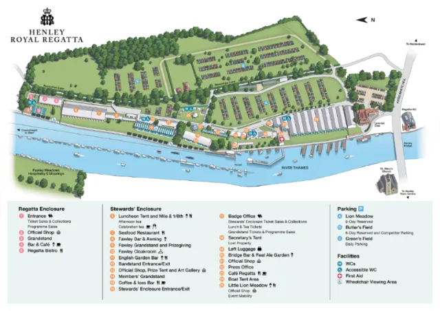
Informative map work of Henley Royal Regatta
Zoom
Find similar
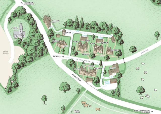
Residential development illustrated map in Mike Hall style
Zoom
Find similar
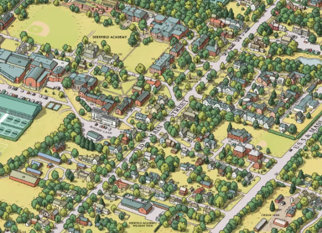
Denison University and  The Village of Granville - Ohio
Zoom
Find similar
Detailed map painting of Kew Garden
Zoom
Find similar
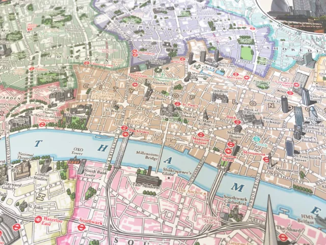
Map of central London showing River Thames
Zoom
Find similar
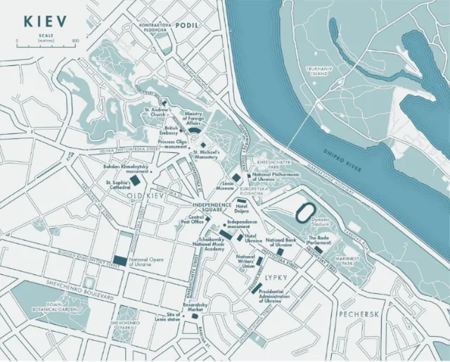
Black and white map illustration of Map of Kyiv, Ukraine
Zoom
Find similar
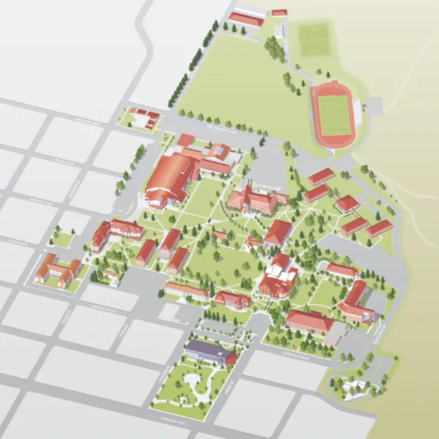
Example of a Campus Map for Western Colorado University
Zoom
Find similar
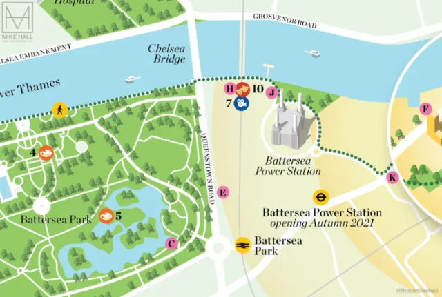
Detailed illustrated map of Battersea area in London
Zoom
Find similar
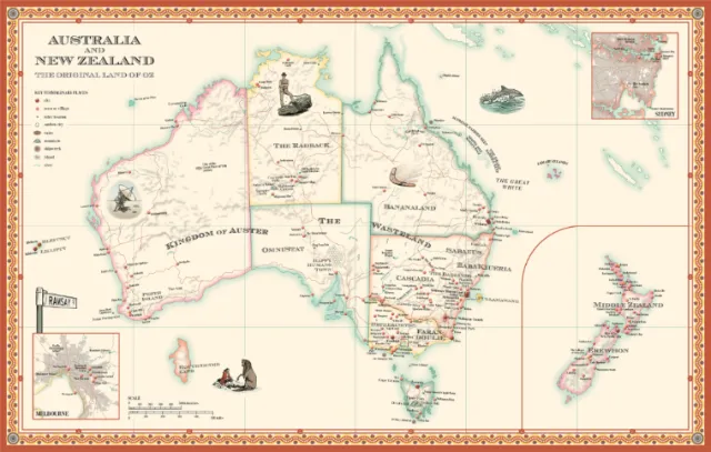
Educational map design of the original land of OZ
Zoom
Find similar
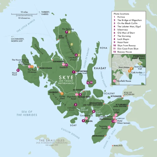
Map illustration of THE ISLE OF SKYE for children's book
Zoom
Find similar
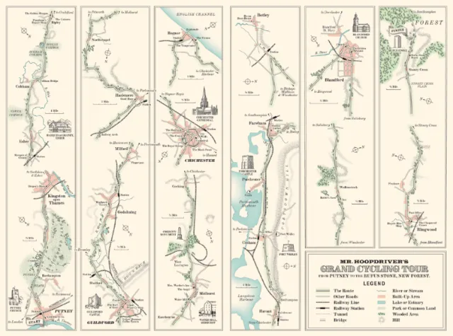
Hall depicts Mr. Hoopdriver's Grand Cycling Tour
Zoom
Find similar
Badia de Son Servera shown on a map
Zoom
Find similar
Hand-drawn map illustration by Mike Hall
Zoom
Find similar
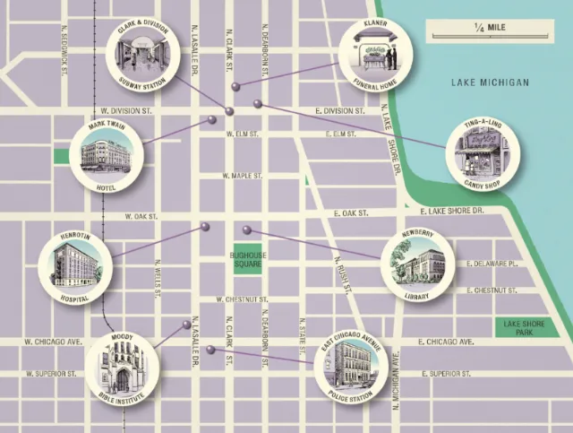
Image of a map of Lake Michigan
Zoom
Find similar
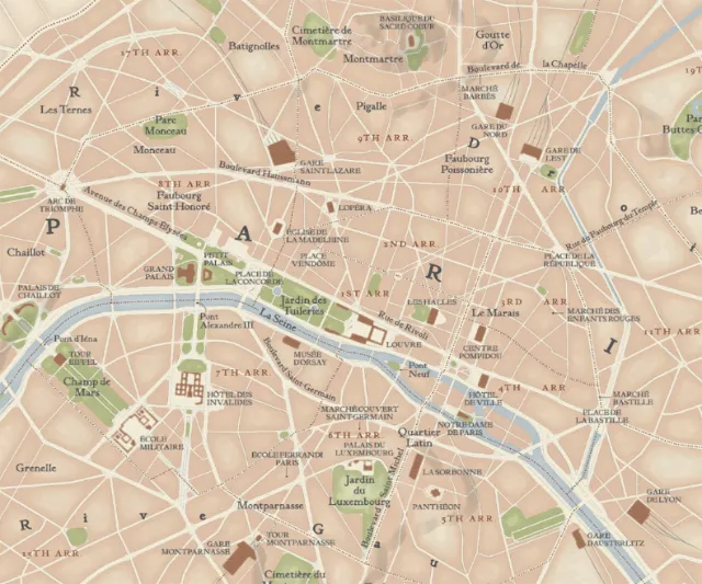
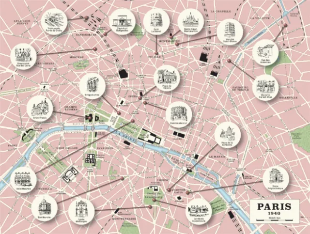
Illustration of a Paris map for a book
Zoom
Find similar
A map of Britain's Maritime History in Eleven Vessels
Zoom
Find similar
European Antique Style Map 2021
Zoom
Find similar
Retro Paris map illustration
Zoom
Find similar
Visual representation of Grosvenor Square, Mayfair
Zoom
Find similar
Mike Hall created a resort map
Zoom
Find similar
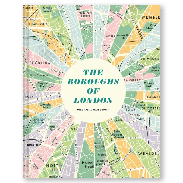
Radial map showing the boroughs of London in various colors
Zoom
Find similar
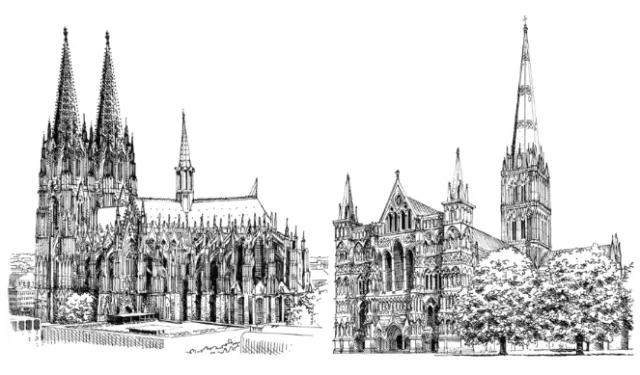
Cologne cathedral - Architectural illustration
Zoom
Find similar
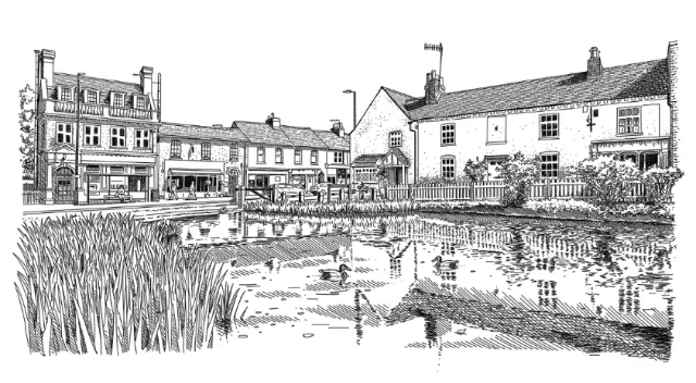
Street Scene | Architectural illustration
Zoom
Find similar
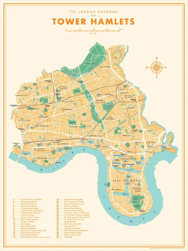
Tower Hamlets editorial illustration
Zoom
Find similar
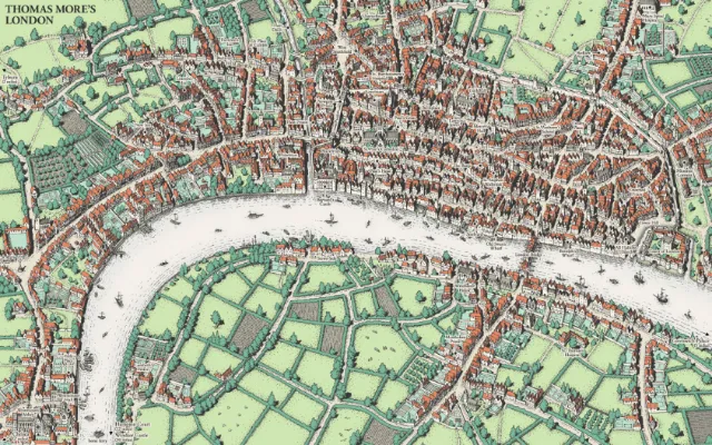
Thomas More's in London
Zoom
Find similar
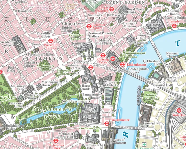
Map illustration of Central London
Zoom
Find similar
Selected Clients
Charities Aid Foundation, Dishoom, Dorling Kindersley, Esquire Magazine USA, The Guardian, Make Architects, Random House, Which? Magazine